Bicycle Maps
Find the official NYC Bike Map here and at your local bike shop. This free map is published annually in the spring.
2025 New York City Bike Map
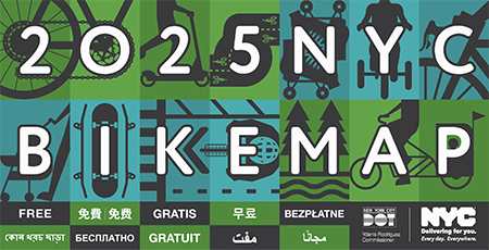
Download the 2025 NYC Bike Map (22 MB) Bike Routes on NYC Open Data (please note: there may be a delay in updates to the Open Data files)
Request NYC Bike Maps or Bike Smart Guides
- Looking for a copy of the NYC Bike Map? Visit a local NYC bicycle shop! Free copies are available at most shops, citywide, as well as at many libraries and community centers.
- For fastest service for small requests (25 or fewer) of NYC Bike Maps or Bike Smart Guides, please call 311.
- For larger requests of the NYC Bike Map, please submit our order form online.
NYC Bike Map Archive
2024 Bike Map 2023 Bike Map 2022 Bike Map 2021 Bike Map 2020 Bike Map 2019 Bike Map 2018 Bike Map 2017 Bike Map 2016 Bike Map 2015 Bike Map
Bike Rides
Self-Guided Bike Rides in NYC
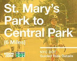
Baisley Pond Park to Forest Park – 6 miles Astoria and Long Island City Bike Tour – 5.8 miles NYC Family Bike Tours – 1 to 2 miles Washington Bridge to High Bridge Bike Tour – 4.1 miles Summer Streets Manhattan Bike Tour – 9.4 miles East New York Brooklyn Bike Tour – 7.8 miles Grand Army Plaza to Green-Wood Cemetery Bike Tour – 2.4 miles Bronx River Greenway Bike Tour – 2.8 miles Staten Island Harbor Coast Bike Tour – 5 to 12.9 miles Prospect Park to Brighton Beach Bike Tour – 9 miles NYC LGBT Historic Sites Bike Tour: Downtown Brooklyn – 5.0 miles Midtown Manhattan Bike Tour – 3.4 miles Three-Borough Bike Tour - 10.8 miles DOT Art Projects Self-Guided Bike Tour – 10.8 miles St. Mary's Park to Central Park Bike Tour – 6 miles Prospect Park to Shirley Chisholm Park Bike Tour – 6 miles Astoria to Jackson Heights Bike Tour – 7.02 miles South Bronx Community Garden Bike Tour – 3.7 miles Eastern Brooklyn Community Garden Bike Tour – 5.2 miles Harlem Community Garden Bike Tour – 2.6 miles
Maps of Greenways and Mountain Bike Trails
Find out more about the Department of Parks and Recreation's bicycling initiatives.