
 Landmarks Preservation Commission311Search all NYC.gov websites


Story Maps
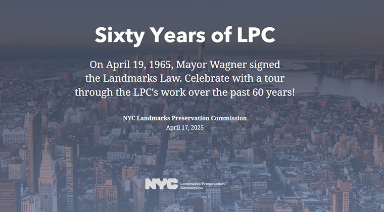
Sixty Years of LPC
This interactive story map includes a decade-by-decade history of the Commission, highlighting designations, Commission-approved new design, legal milestones, and a timeline of NYC history.
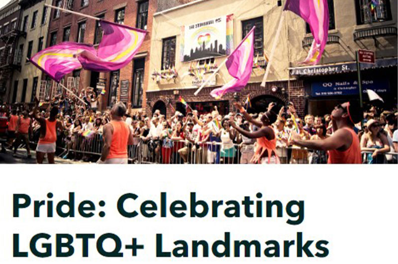
Pride: Celebrating LGBTQ+ Landmarks
This interactive story map highlighting individual landmarks designated for their association with people and organizations that made significant contributions to the Lesbian, Gay, Bisexual, Transgender, and Queer (LGBTQ+) cultural and civil rights movements.
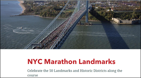
NYC Marathon Landmarks
This interactive story map celebrates the New York City Marathon’s 50th running highlighting a selection of 50 designated landmarks and historic districts along the route in all five boroughs.

Preserving Significant Places of Black History
This interactive story map celebrates New York City's African American history through designated landmarks and historic districts. It highlights landmarks and historic districts that illustrate the experiences and achievements of African Americans.
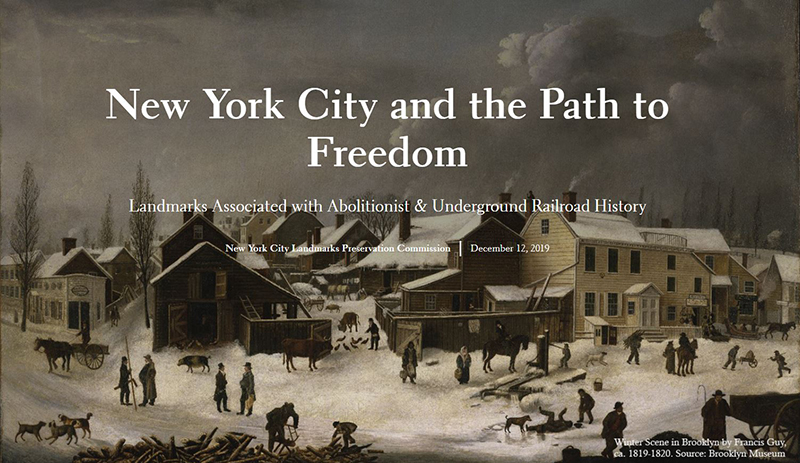
New York City and the Path to Freedom
This interactive story map highlights landmarks associated with the city's abolitionist history, from buildings that housed people and institutions engaged in the anti-slavery movement to free black communities.
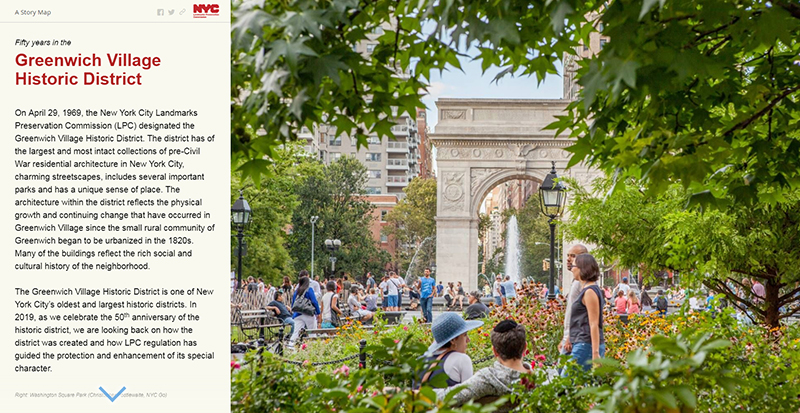
Fifty Years in the Greenwich Village Historic District
This interactive story map celebrates the 50th anniversary of the Greenwich Village Historic District's designation. It illustrates how the district was created and how LPC regulation has guided its protection and enhancement of its special character over the past 50 years.
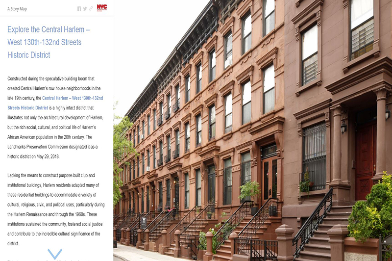
Explore the Central Harlem – West 130th-132nd Streets Historic District
This interactive story map outlines the architectural and social development of the district, as well as the people and institutions that shaped Harlem's history and culture, and brought social change in the United States.
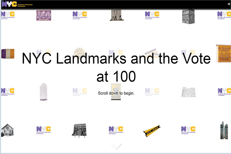
NYC Landmarks and the Vote at 100
This interactive story map commemorates the centennial of women's suffrage in New York State through the lens of New York City landmarks.
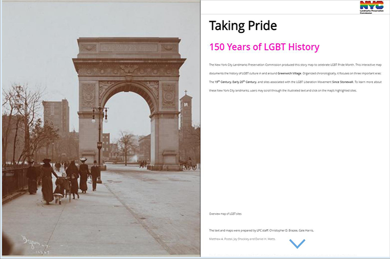
Taking Pride
This interactive story map celebrates 150 years of LGBT history through the lens of New York City landmarks.
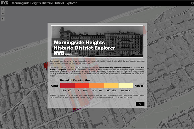
Morningside Heights Historic District Explorer
This interactive 3D map allows users to learn more about the buildings that make up the Morningside Heights Historic District.