
 Department of City Planning311Search all NYC.gov websites


Transportation
Land Use Coordination
Identify transportation challenges and opportunities as they relate to potential land use changes across the city.
Traffic Analysis
Study transportation demand to help anticipate how changes to population and employment patterns may affect the city’s roadways.
Transportation Research
Study and summarize patterns and trends in how people and goods move around New York City.
Inter-Agency Coordination
Collaborate with other government agencies, transportation organizations and communities to listen to concerns, identify priorities and achieve desired outcomes
Land Use Coordination
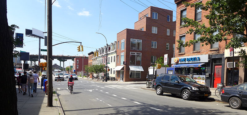
Good planning involves integrated thinking about how transportation and land use shape one another. It involves identifying transportation challenges and opportunities that come with potential changes to land use and zoning.
For example, how can new residential buildings support car sharing and minimize disruptions to the pedestrian environment? How can a regional investments improve connections to a neighborhood’s key commercial centers? How should the rise of telework influence decisions around transportation investments?
Simply, how can we best move people and goods in a changing and often constrained environment?
DCP provides guidance on these types of questions to support land use and zoning policy decisions. To do this, we talk to community members, observe roads and transit and collect and analyze data.
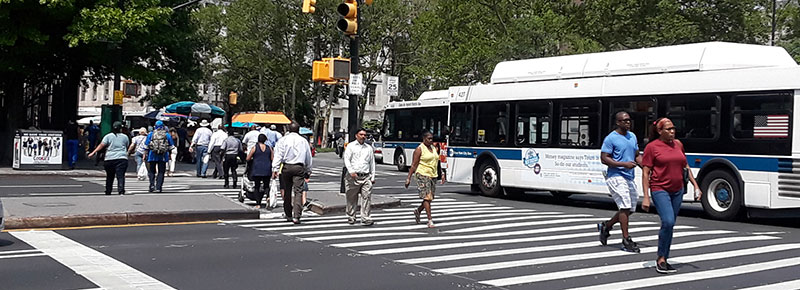
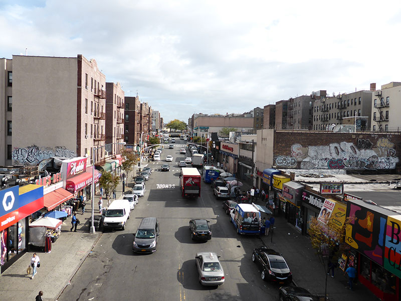
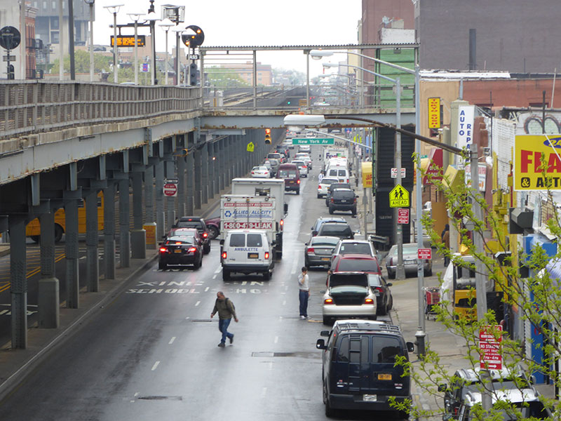
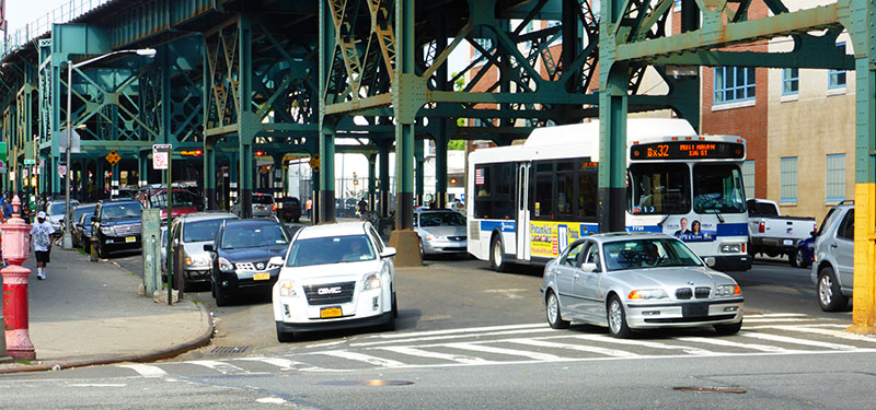
Traffic Analysis
New buildings, economic trends and more can change how, when, and where people travel. These changes can have complex effects on our transportation network. They may increase the number of people on sidewalks in some places and decrease them in others. They may shift cars to different roads or direct passengers to different subways—often in ways that are difficult to precisely predict.
DCP studies transportation demand to help anticipate how changes to population and employment patterns may, for example, result in changes to roadway congestion or shift people from one mode of transportation to another. DCP also advises on roadway and sidewalk improvements to help ensure our streets are safe for all.
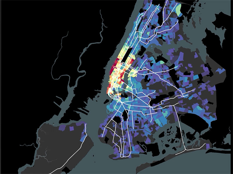
Transportation Research
DCP uses cutting-edge research methods to collect and analyze transportation data. Recent research topics have included parking, bike sharing and for-hire vehicles. This research helps us incorporate forward-thinking and sustainable transportation strategies into city planning work. DCP also collaborates with communities, stakeholders, and agency partners such as the Department of Transportation (DOT) and Housing Preservation and Development (HPD) to support their work with our research.
View the latest transportation research in the gallery below and visit the Resources page to find more.
Inter-Agency Coordination
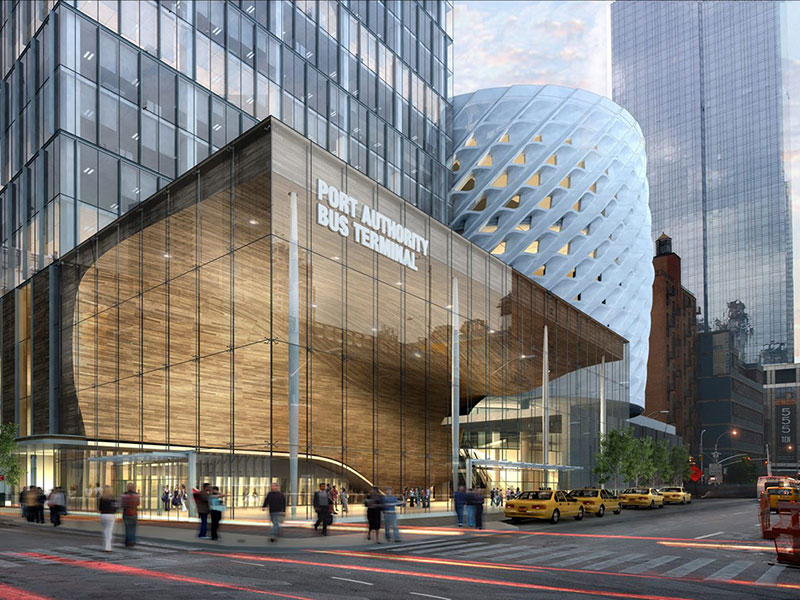
DCP coordinates extensively with other transportation and planning bodies in the region. For example, we work with the MTA and Port Authority on major infrastructure projects, to ensure that issues important to the city and its communities are addressed. We conduct traffic analysis alongside the City and State Departments of Transportation. Our transportation research relies on data supplied by other agencies, such as the New York State Department of Motor Vehicles (DMV).
This coordination allows us to bring the best transportation information to communities and decision makers as we build a shared vision for the future of our streets.