
 Department of City Planning311Search all NYC.gov websites


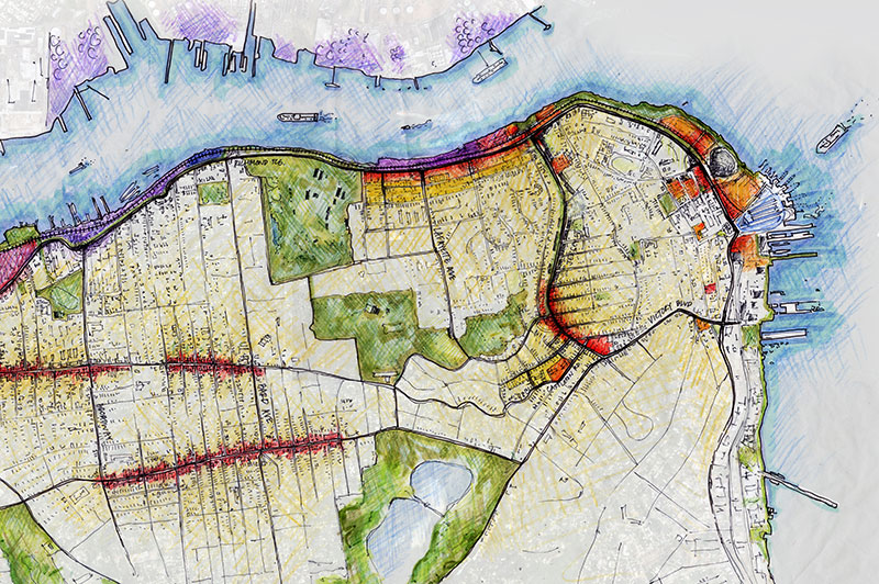
Staten Island
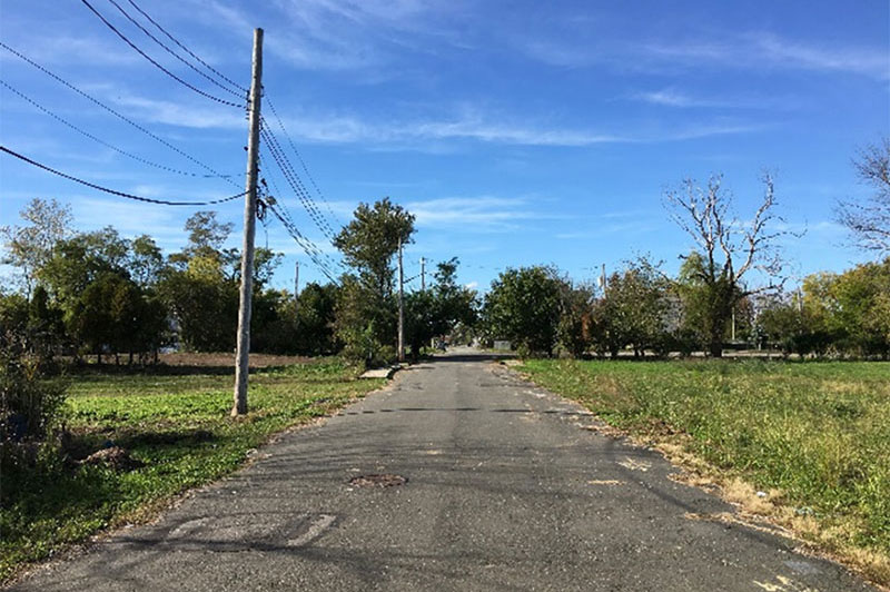
Richmond Terrace communities have spent years creating their vision for the future of the area. Join us in bringing it to life. Learn more about the Richmond Terrace Corridor.
NYC seeks to make home improvement projects less costly and burdensome for property owners in South Richmond.
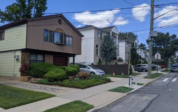
South Richmond Zoning Relief would improve and modernize rules in the Special South Richmond Development District that have not changed since 1975. The proposal is a collaboration between Staten Island Community Board 3, homeowners, builders, environmentalists, elected officials and NYC Planning. Learn more about the South Richmond Zoning Relief - - Adopted 11/2/23
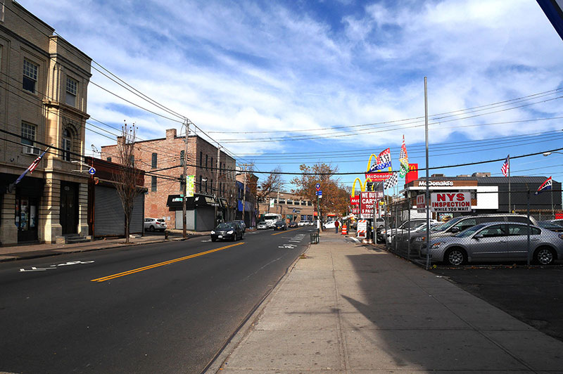
Bay Street Corridor Neighborhood Plan is one of our neighborhood planning studies to work collaboratively with the community, other city agencies and various stakeholders in the Bay Street Corridor to develop comprehensive strategies and recommendations to foster affordable housing, capital investments, community resources and transportation improvements. Learn more about the Bay Street Corridor Neighborhood Plan - Adopted 06/26/19
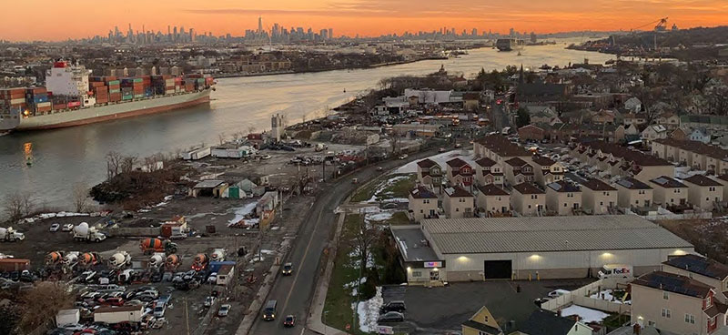
Resilient Neighborhoods - East Shore Neighborhoods looks at developing a strategy to address long-term flood risks. The East Shore was selected for the study not only because it was severely impacted by Hurricane Sandy, but also because of the area’s built character and land use challenges. Learn more about the Resilient Neighborhoods - East Shore Neighborhoods - Adopted 09/07/17
One of the priority recommendations from the East Shore Resilient Neighborhoods report is to modify the zoning rules in the New York State Buyout Areas of Oakwood Beach, Graham Beach, and Ocean Breeze. The proposed Special Coastal Risk District will limit density in these highly vulnerable areas, protect sensitive natural areas, and ensure that new development is consistent with open space and infrastructure plans. Learn more about the East Shore Buyout Areas Special Coastal Risk District Text Amendment and Rezoning.
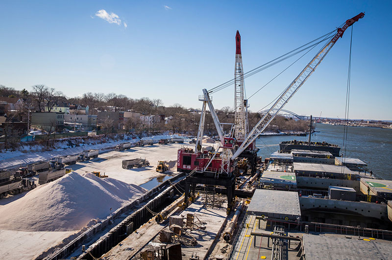
West Brighton Brownfield Opportunity Area (BOA) looks at crafting a strategic plan for the West Brighton area with the goals of improving public access to waterfront and upland open space, supporting new and existing maritime industrial uses, expanding retail and community services and providing a safe, multi modal transportation network along Richmond Terrace. Learn more about the West Brighton Brownfield Opportunity Area (BOA).
Port Richmond Brownfield Opportunity Area (BOA) follows up on the North Shore 2030 Report recommendations and looks at crafting a strategic plan for the Port Richmond area with the goals of supporting new retail services and jobs, strengthening the working waterfront, and providing needed amenities including open space and waterfront access. Learn more about the Port Richmond Brownfield Opportunity Area (BOA).
Working West Shore 2030 lays the framework for future investment and land use decisions on the West Shore of Staten Island. The final report identifies strategies that will help create jobs, upgrade infrastructure, preserve open space and manage growth over the next twenty years. Learn more about the Working West Shore 2030.
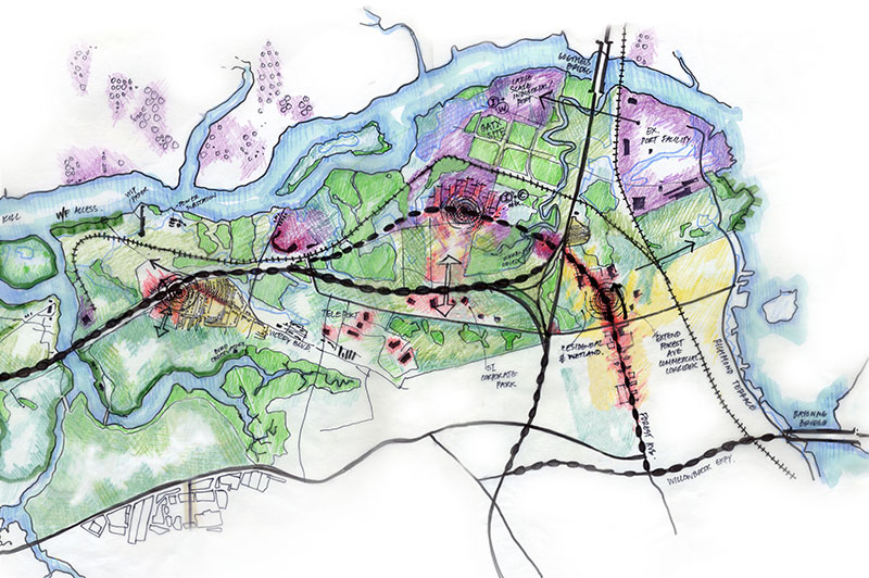
Staten Island North Shore - Land Use & Transportation Study, initiated at the recommendation of the Mayor’s Growth Management Task Force, looks at identifying opportunities for creating jobs, increasing public waterfront access, improving transportation connections, strengthening neighborhood centers and addressing environmental challenges. Learn more about the Staten Island North Shore - Land Use & Transportation Study.
| Projects with Approved Zoning | Adopted Date |
|---|---|
| 01/18/2011 | |
| 06/10/2009 | |
| 10/23/2008 | |
| 04/16/2008 | |
| 11/15/2006 | |
| 10/25/2006 | |
| 02/02/2005 | |
| 08/12/2004 |
![]() Items accompanied by this symbol require the free Adobe Acrobat Reader.
Items accompanied by this symbol require the free Adobe Acrobat Reader.