
 Department of City Planning311Search all NYC.gov websites


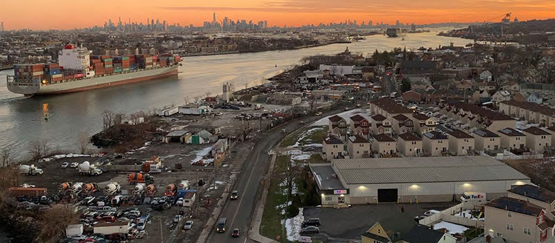
Richmond Terrace Corridor
Richmond Terrace communities have spent years creating their vision for the future of the area. Join us in bringing it to life.
Why Richmond Terrace?
Richmond Terrace connects communities across Staten Island’s north shore and provides access to maritime industrial jobs. Surrounding communities have called for a plan to support:
- Vibrant mixed-use neighborhood centers
- More high-quality jobs
- Easy access to the waterfront
- Improved transportation connections and mobility
We are working together to turn those visions into real policies for a bright future along the Richmond Terrace Corridor.
Local communities face high risks of flooding, health challenges, and rent burden compared to NYC as a whole. The plan will focus on equity for North Shore residents – for example, by supporting permanently affordable housing.
Project Milestones
Happening now: Community meetings to turn vision into policy.
These meetings build on years of research that you can explore here.
Next step: A land use framework will be finalized to support new zoning recommendations.
Plan Area
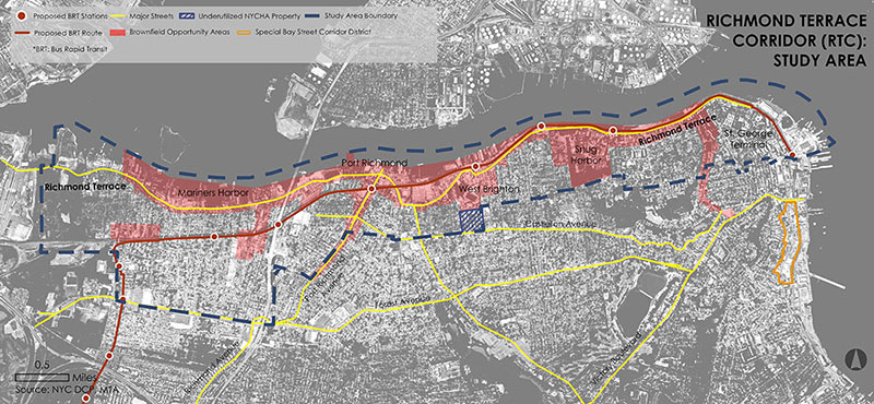
The plan area is generally bounded by:
- Jersey Street to the east
- The Bayonne Bridge to the west
- The Kill Van Kull waterfront to the north
- Castleton Avenue and Henderson Avenue to the south
Past Meetings
New Brighton Civic Meeting | December 6, 2023 | 7:00 PM
Location: Snug Harbor Cultural Center & Botanical Gardens
Presentation: New Brighton Civic Committees Framework Discussion | December 2023
New Brighton Civic Association & St. George Civic Association | December 5, 2022
Location: Snug Harbor Cultural Center & Botanical Gardens
Presentation: North Shore BOAs Update | December 2022