
 Flood Maps311Search all NYC.gov websites
Timeline

Timeline
The City received its first FEMA Flood Insurance Rate Maps (FIRMs) in 1983, and the maps had not been significantly updated until the Preliminary FIRMs were released in December 2013.
The release of the Preliminary FIRMs marks the first step in ar eview process which includes a public comment and 90-day technical appeals period before the maps become offcial for New York (expected 2016 or 2017).
Once the Preliminary FIRMs are finalized, property owners whose properties are located within the updated 100-year floodplain will be required to purchase flood insurance if they have a mortgage from a Federally-backed lender.
Find out more about flood insurance
In the meantime, to ensure that structures are built using the best available information, the New York City Building Code now requires new and substantially improved buildings to use the Preliminary FIRMs until the maps become official.
FIRM Update Timeline*
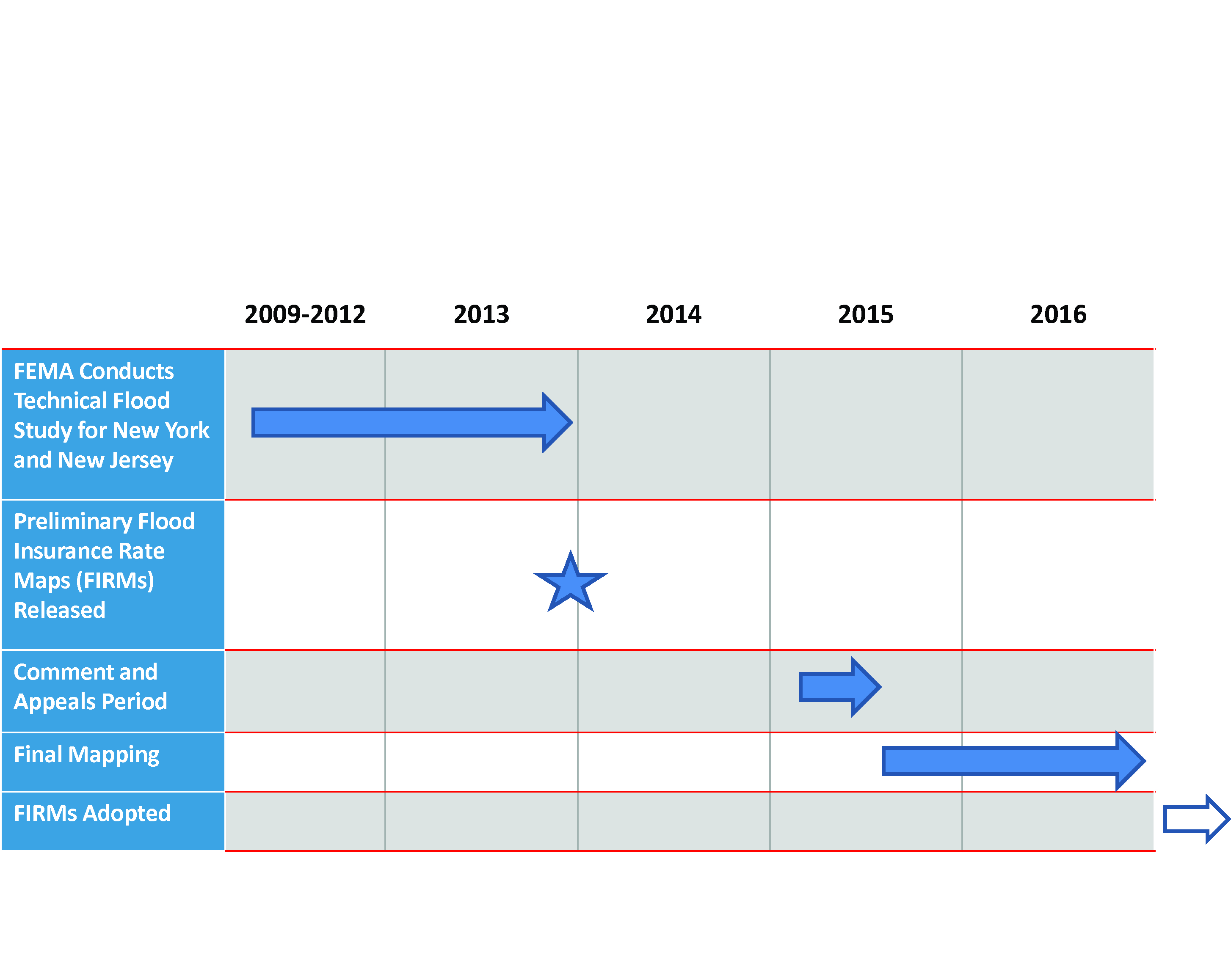
*Should changes occur, this timeline will be updated
Read more about the Flood Map update process in an official letter from FEMA