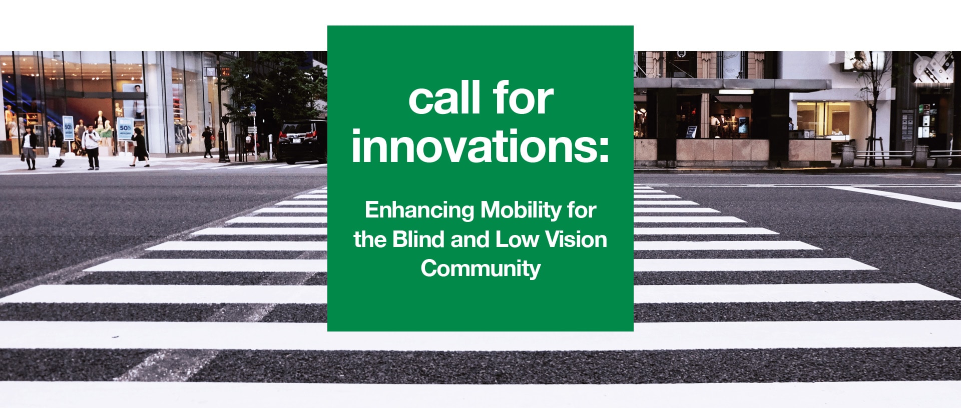
How can we make street navigation easier and safer for pedestrians with vision loss?
New York City and Barcelona have recently announced a new joint call for innovative solutions, challenging the global technology community to improve safety at intersections for blind and low-vision pedestrians. Winning solutions will receive funding to pilot their solutions at designated locations in New York City and Barcelona.
In New York City, the New York City Department of Transportation (NYCDOT) seeks proposals for a wearable technology, smartphone application, or other technology solution to provide wayfinding assistance to New Yorkers with vision loss.
In Barcelona, the challenge is led by the Department of Mobility who seeks a solution to help blind and low-vision pedestrians more safely navigate intersections and single-level streets.
We encourage solution providers to consider creative ways to leverage personal devices, location-aware technologies, and data sources ranging from NYC Open Data and Barcelona Open Data to signal timings. Solutions should aim to make street navigation accessible, safe, and empowering for blind and low vision pedestrians.
Additional Information
Each city is running its own challenge, and you may propose your solution to NYC, Barcelona, or both. While each city is asking providers to address specific challenges, many of the needs are the same - we present two complete statements below so you can find everything you need in one place.
NYC Challenge Background
There are over 200,000 people with vision loss living in New York City. While navigating streets with complex geometries, crowded sidewalks, and frequent construction is difficult for all residents, it’s an even bigger challenge for the blind and low vision community.
The City of New York’s Vision Zero Initiative made a bold new commitment to enhance street safety in every neighborhood and every borough. The initiative’s calls for new street designs and configurations are sure to enhance the safety of New York City in the long run. But in the short run, daily routes of the blind and low vision community are often interrupted by the unexpected physical barriers presented by construction or changes to street design features such as bike lanes, changes to street widths, and new pedestrian space. Additionally, pedestrians with vision loss often rely on the sounds of traffic flow to know when it’s safe to cross an intersection, since crossing signals typically lack an audio output. If cars aren’t present, determining pedestrian right-of-way is more difficult.
People with vision loss may use a cane, guide dog, or other assistive technology to orient themselves while traveling. New assistive technologies can do even more to allow blind or low vision pedestrians to navigate confidently. These should be developed with the following in mind:
Sidewalks and Public Spaces:
- Navigating in unfamiliar, unpredictable environments
- Obstacles in and adjacent to the path of travel
- Temporary construction detours
- Inconsistent street lighting levels or environmental noise
Crosswalks:
- Need for detectable warning surfaces and Accessible Pedestrian Signal (APS) push buttons
- Locating crosswalks and APS buttons (where available)
- Identifying complex intersections
- Maintaining orientation while crossing
- Identifying the start and completion of the walk signal cycle
Wayfinding:
- Need for audio and tactile feedback to provide precise information about landmarks
- Increased stress and anxiety related to traveling in unfamiliar, complex, and/or large-scale areas without information about surroundings
Technology:
- Difficulty using a mobile device or smartphone while navigating via a cane or guide dog
- Affordability of smartphones and monthly data plans (particularly in light of high unemployment rates in the low vision community)
- Imprecise location targeting, especially where tall buildings or overhanging landscaping block satellite signals
Various groups have been working to address some of these challenges. Community organizations like the Lighthouse Guild NYC and the Pedestrians for Accessible and Safe Streets (PASS) Coalition offer services and advocacy that help make New York safer for everyone. This includes indoor and outdoor mobility instruction to help people with vision loss navigate safely.
NYCDOT will be expanding the installation of Accessible Pedestrian Signals (APS) (to announce when it is safe to cross the street) and developing tactile maps (to provide additional information to pedestrians who are blind or low vision). While these initiatives will advance mobility, the City is looking for even more targeted approaches to providing the information and guidance necessary to make travel safe and enjoyable for the blind and low vision community. Additionally, the City seeks to identify a solution that will be minimally invasive. Solutions should utilize existing resources and require minimal physical construction, maintenance, and operating costs.
Barcelona Challenge Background
Barcelona has many single-level streets, or those which do not have a vertically segregated pavement with curbs but may instead have a differentiated or single road surface. Given the lack of traditional markers, they can be difficult for pedestrians with vision loss to navigate.
Solutions should keep in mind the following challenges, infrastructures, and needs:
Sidewalks and Public Spaces:
- Navigating in unfamiliar, unpredictable environments
- Obstacles in and adjacent to the path of travel
- Temporary construction detours
- Inconsistent street lighting levels or environmental noise
Crosswalks:
- Need for detectable warning surfaces and Accessible Pedestrian Signal (APS) push buttons
- Identifying complex intersections
- Maintaining orientation while crossing
- Identifying the start and completion of the walk signal cycle
Single-Platform Streets:
- Sufficiently wide to ensure pedestrians can turn, cross, and change direction regardless of whether they are travelling on foot, in a wheelchair, on crutches, etc.
- Accessible pedestrian itineraries will have to run adjacent to façade lines or together with horizontal elements that signal ground-level building limits
- Road surface with dotted lines between the vehicle passage zone and accessible pedestrian itinerary, to warn against danger
- Grooved road surface between building and dotted line
- Tactile paving section next to the road gutter
- No rails or scuppers placed along pedestrian paths
- No loose-earth, gravel or sand pavings
- Sign-posted stairs on each step and throughout their length
Wayfinding:
- Need for audio and tactile feedback to provide precise information about landmarks
- Increased stress and anxiety related to traveling in unfamiliar, complex, and/or large-scale areas without information about surroundings
Technology:
- Difficulty using a mobile device or smartphone while navigating via a cane or guide dog
- Affordability of smartphones and monthly data plans (particularly in light of high unemployment rates in the low vision community)
- Imprecise location targeting, especially where tall buildings or overhanging landscaping block satellite signals
Barcelona’s Municipal Institute for Persons with Disabilities collaborates with associations working with people with disabilities, particularly those with low vision, in order to improve mobility safety for everyone. At the same time, the city continues to work towards ‘a city for all’, removing barriers and installing accessible traffic lights and specific systems to guide pedestrians with vision loss in public areas.
How to Get Involved:
Submit an Application
By November 2, 2017 at 11:59PM EDT: Applicants submit all required documentation. Applications must include how the solution will be implemented at the pilot intersection sites.
Submission Review
November 3 - November 10, 2017: Evaluation panel reviews and selects finalists to advance to the final review. Finalists will be announced at the Smart City Expo and World Congress in Barcelona.
Finalist Interviews
On or before November 16, 2017: Finalists will be invited to demonstrate how the solution will work at the pilot site. Specific criteria for the demonstration will be shared at the time of the request.
Winner Selection
December 15, 2017: Cities select solution(s) to pilot. The winning team(s) will be eligible for funding from the selecting city.
Information | FAQs | Rules