
 Department of City Planning311Search all NYC.gov websites


Atlantic Avenue Mixed-Use Plan
Rail-based Development
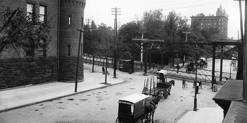
At the end of the 19th century, a railway along Atlantic Avenue connected the farms of Long Island to Brooklyn's industrial waterfront. Thanks to the railway, many industrial businesses flourished along Atlantic Avenue and surrounding blocks.
Car-centric Development
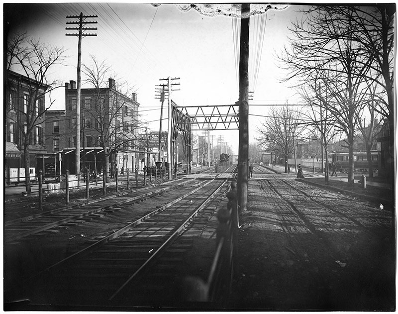
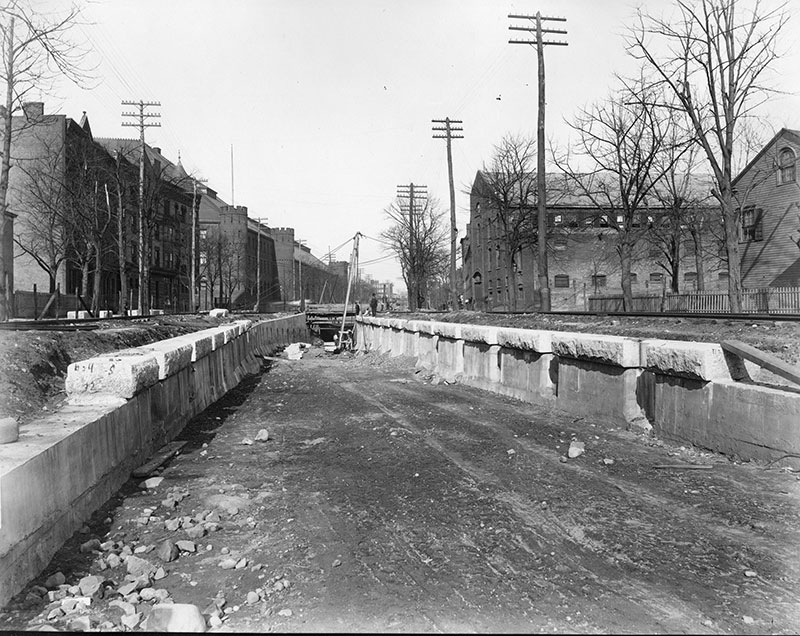
In the early 1900s, the railway moved underground. At the same time, Long Island became more suburban as car ownership rose. As a result, car-focused businesses including gas stations, vehicle repair shops, warehouses, and distribution centers, flourished along Atlantic Avenue.
1961 zoning
When New York City was last rezoned in 1961, Atlantic Avenue was designated “M1-1,” an industrial district that only allows low-rise commercial and industrial buildings with high parking mandates — a model that is now outdated and hurts modern businesses. The zoning also does not allow new housing to be built, even though it is surrounded by existing residential neighborhoods and has excellent access to jobs in Downtown Brooklyn and Lower Manhattan.
Atlantic Avenue and surrounding areas today
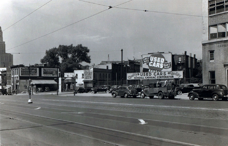
This part of Atlantic Avenue has seen little new development in recent decades. Today, a mix of vacant lots, self-storage, and auto shops characterize the area.
Meanwhile, downzonings in largely residential neighborhoods surrounding Atlantic Avenue (Bedford-Stuyvesant, Clinton Hill, Crown Heights, and Prospect Heights) alongside tremendous population growth has only intensified the need for new housing and especially affordable housing.
Recent planning efforts
After the 2013 rezoning of a portion of Crown Heights, neighboring Brooklyn Community Board 8 formed a committee to establish a shared vision for housing and job growth in their district, along Atlantic Avenue.
In 2016, NYC Planning worked with the Board on a land use study for the area of Atlantic Avenue that extends from Vanderbilt Avenue to Nostrand Avenue. Read about planning efforts among the local community, NYC Planning, and elected officials since 2016 here.