
 Environmental Protection311Search all NYC.gov websites


Hiking
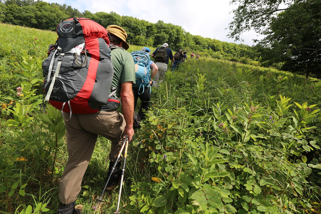
Hiking (including cross country skiing and snowshoeing) is allowed on many City-owned watershed lands that are marked with Watershed Recreation Signs stating “Entry by Permit” or “Public Access Areas.” For lands that require a permit, you can apply for your permit online through our Access Permit System. All recreational users should pay very close attention to the types of signs that are present because properties marked with “No Trespassing” or “Posted” signs are not open for public use, including areas immediately around New York City reservoirs.
Many old logging roads exist that are well-suited for hiking, cross country skiing, or snowshoeing. Hikers are encouraged to visit designated hiking properties where they can often discover hidden treasures such as scenic waterfalls and breathtaking vistas. Dogs are generally allowed on City-owned lands but they must be well-behaved and controllable. Any animal waste should be promptly cleaned up and removed.
Use our Interactive Recreation Map to find City-owned properties and understand the types of recreation that are permitted in each area. You can also download Recreation Area Maps and Use Designations by County. For answers to commonly asked questions about hiking and DEP Access Permits, visit Hiking FAQs and DEP Access Permit FAQs.
Recreation Unit Closures
Please read and follow the Watershed Recreation Signs posted in these project areas.
-
Pink Street Unit: Towns of Stamford/Bovina, Delaware County. A portion of DEP lands on the north side of Scutt Mountain Road between County Route 5 and County Route 18 will be closed until further notice to facilitate an active logging operation.
-
Mount Royal Recreational Unit: Town of Conesville, Sullivan County. A portion of The 279 Acre Mount Royal Recreational Unit will be temporarily closed due to the construction of a pump station. Access to the unit at the intersection of NYS Route 990V and Bull Hill Road, and the areas immediately surrounding the work site will be restricted. Following construction, a portion of the unit where the pump station may remain closed.
-
Mile Shore Recreational Unit: Ashokan Reservoir, Town of Hurley, Ulster County. Approximately 76 acres located on the east end of the unit, including gates E22A and E-23 in the vicinity of Torino’s Cove, will be subject to closure.
-
Long Pond Recreational Unit: Town of Carmel, Putnam County. The 32 Acre Long Pond Recreational Unit will be closed due to construction work on the Willow Pond spillway. Work is expected to be completed by mid-May 2019.